At ZSL, we know that conservation works best when it's powered by science.
Our conservation scientists have led ground-breaking research using satellites to understand the impacts of a long-standing UK rewilding project which has seen key species and native vegetation return.
The UK is one of the most nature depleted countries in the world, with only an estimated half of its original biodiversity left. In fact, more than one in seven native species face extinction today.
Why is UK Nature at such a high risk?
Exponential rates of land use change for agriculture and urbanisation are the top drivers of these distressing statistics. The staggering loss of biodiversity can be attributed to the Industrial Revolution in the 18th Century. This period of increased manufacturing and production certainly helped to bolster the UK’s economy, but it completely transformed the country’s landscape forever. Natural ecosystems were destroyed to make space for large scale agriculture and farming.
One way to gradually recover the nature lost by intense agriculture is a process known as ‘rewilding’. Rewilding is the process of rebuilding a functioning and self-sustaining ecosystem by restoring natural processes and food webs. It is increasingly seen as an important tool to help repair damage to natural systems, which are the foundations of all life on earth.
Pioneering the Rewilding Project at Knepp Estate
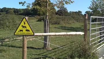
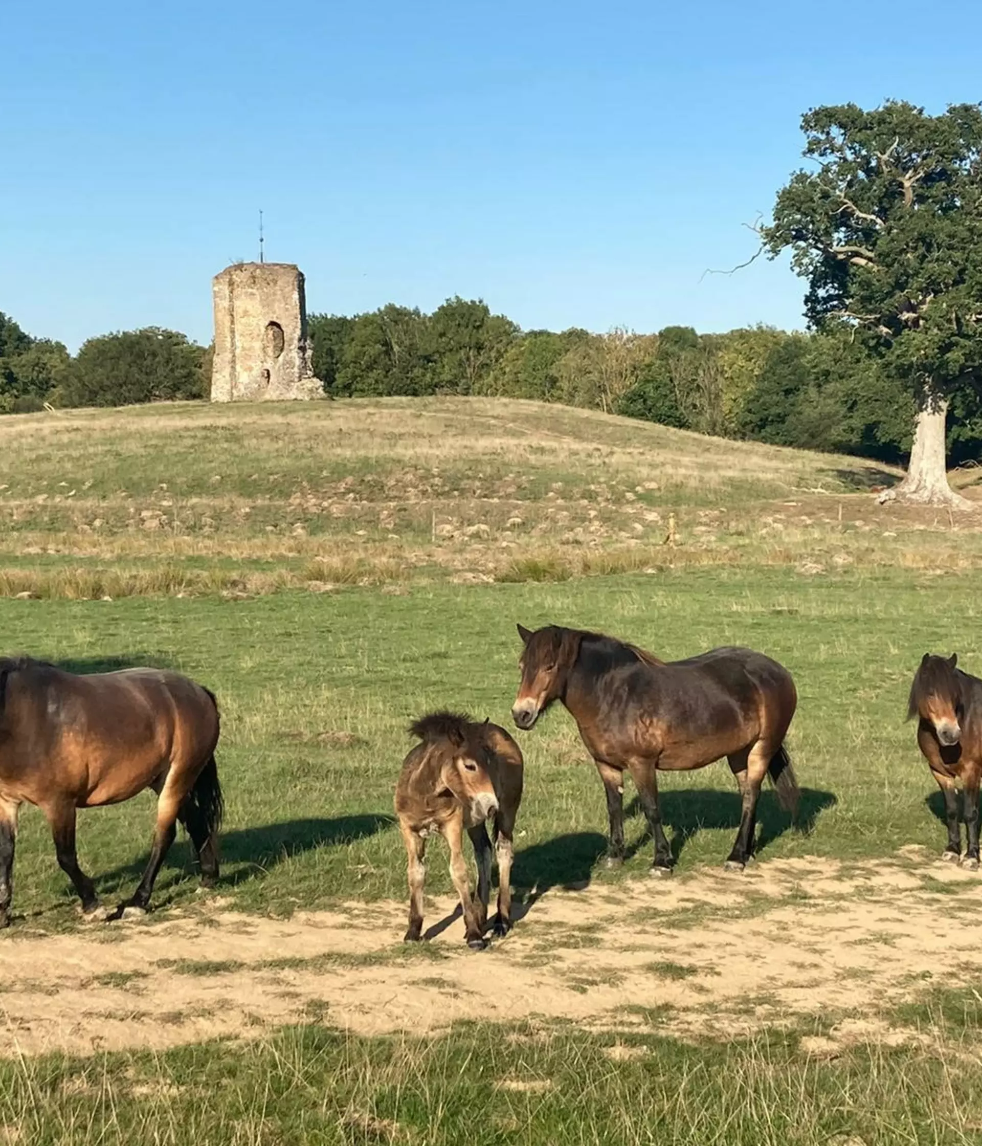
Following World War II, the Knepp Estate in West Sussex was used for intensive agriculture, but after this was deemed unprofitable, the owners turned it into a conservation site with selected areas open to the public. Since 2001, free-roaming grazing animals have been used to drive habitat creation, and with the restoration of dynamic, natural water courses, the project has seen extraordinary increases in wildlife.
As a result, the estate has become home to a diversity of returning wild species, including rare turtle doves (Streptopelia turtur), nightingales (Luscinia megarhynchos), peregrine falcons (Falco peregrinus) and purple emperor butterflies (Apatura iris). Knepp’s ethos, echoing that of many other rewilding projects, is to enable natural processes instead of aiming for any particular goals or outcomes.
Observing Rewilding Progress from Space
ZSL conservation scientists have been monitoring this phenomenal progress over the past two decades from space. This monitoring project is the first of its kind.

Our scientists have used long-term satellite data to monitor and evaluate the impacts of more than 20 years of nature restoration efforts at the Knepp Estate – one of England’s longest running rewilding sites.
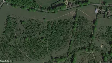
Satellite data showed that nature has bounced back particularly well in the southern part of the Estate where fields were left for long periods before the introduction of herbivore species such as Exmoor ponies and fallow deer. This space exhibited the most significant change in land cover between 2001 and 2020, with the area dramatically switching from brown ‘ploughed’ fields and grassland to woody vegetation such as shrubs and trees. Conservationists who led the study say that these changes would have reinvigorated support for important ecosystem functions including food sources, habitats, water and soil retention.
Witnessing Incredible Results of Rewilding from Space
Research published by ZSL’s Institute of Zoology, Imperial College London and the University of Sussex in 2022 gathered satellite data and imagery such as those available from Google Earth, to track changes in trees and shrubs from 2001 to 2020 across the 1,400-hectare Knepp Estate.
After scouring years of earth observation images across seasons, the team pieced together a picture of definitive nature recovery at the site, with results showing that rewilding efforts have led to a 40% increase in areas with trees, and six times more shrubs than before the project started. Vegetation in the rewilded areas also showed a widespread increase in annual primary productivity.
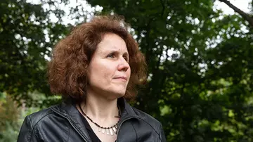
Lead author, and ZSL researcher, Henrike Schulte to Bühne said: “This study is the first of its kind to assess the impacts of rewilding on wider ecosystem functions over several decades and at scale in the UK. The Knepp Estate is becoming a lush and thriving natural habitat, and by using freely available, satellite data, we have deepened our understanding of the impacts made by rewilding efforts.”
Measuring the impacts of long-term rewilding projects, such as Knepp, has thus far been a challenge due to the various other factors which will naturally affect the environment. This study is the first in the UK to use satellite images to assess the long-term impacts of rewilding as a strategy for a nature positive future.

Schulte to Bühne added: “Earth observation tools have been vital in helping us to understand more about rewilding and how it's working. We hope that our work has proven how successful it is and will be used to assess the impact of other rewilding projects in the future.”
The findings also showed a significant increase in green vegetation, which the researchers believe cannot be entirely explained by rewilding efforts alone. They suggest these changes could also be attributed to the impacts of warming conditions in South England due to climate change. As climate change is causing broad and damaging shifts in nature, this will need to be monitored closely, and satellite imagery could help.
Senior author and climate change and biodiversity expert at ZSL, Dr Nathalie Pettorelli said: “Restoring nature in the context of rapid environmental change is challenging. To inform conservation action, we need a range of reliable tools that help us assess and predict the impacts of our efforts in the context of rapid changes in climatic conditions; as this study has shown, satellite data are, in that respect, extremely useful.”

“Alongside the IUCN’s recent resolution on rewilding, there has been a broad interest in the development of guidelines to monitor the ecological impacts of rewilding projects. Here at ZSL, we would like to see governments, landowners and policy makers across the UK putting nature at the heart of decision making, prioritising biodiversity loss and recognising its interconnections with other environmental issues such as climate change.”
“The good thing about satellite data is that you can go back in time and look for data from a time passed, so it presents itself as an ideal tool to help with monitoring the work being done to help restore nature.”
ZSL has been building connections between people and wildlife for almost 200 years. Today, as human activities push our planet to its limits, that’s more vital than ever – join us on the journey of recovery.
